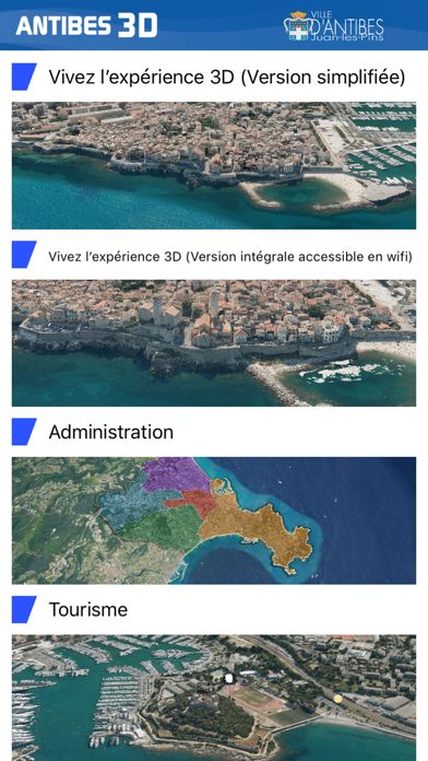


Antibes 3D app for iPhone and iPad
Developer: IGO SAS
First release : 13 Oct 2018
App size: 79.05 Mb
Discover the city of Antibes Juan-Les-Pins in 3D with fingertips.
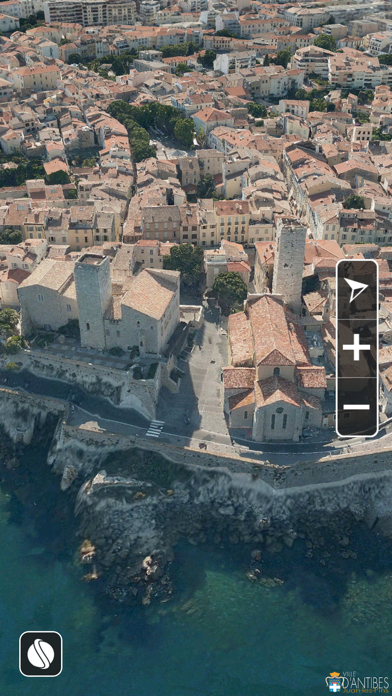
- Fly over monuments, beaches, streets as well as spaces and shores of Antibes Juan-Les-Pins.
- With “My position” function, geotag yourself and discover the available information nearby. (This function is accessible from the menu or even more simply by dragging the ball icon upwards)
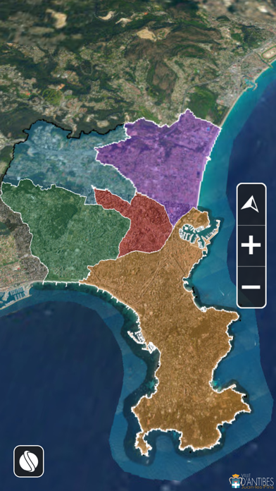
- Overlay the information such as points of interest related to heritage, hiking trails, cadastral boundaries, the PLU… (this function is accessible from the menu or even more simply by dragging the ball icon to the right.)
- Annotate the 3D space and share it with a screenshot.
- Use space analysis with measurement tools of distances and areas, visibility analysis compared to an observer, display a terrain profile, contours and slope maps.
- Search for a place by the address or in reverse, get the address of the place where you do an extended click.
- View detailed 3D models of some notable buildings.
- Access to the list of Data Providers.
Good overflights!
Credits: City of Antibes 3D data HR, airborne acquisition by Aerodata, developed application by IGO, surrounding data by IGN, Département 06 , CASA
Note: An internet connection is required.